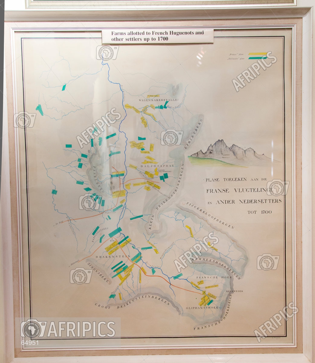
Map showing land allotted to French and Dutch Huguenots and Settlers up to 1700 in the Stellenbosch, Franschhoek and Paarl area
Size: 3463px × 3981px 29.3cm × 33.7cm - 300dpi
Location: Huguenot Memorial Museum, Franschhoek, Western Cape, South Africa
Photo credit: © Oscar Max / AfriPics
License: Licensed
Model Released: No
Categories: Politics and History
Keywords: 1700 south african history allocation allocations farms historical huguenot huguenots immigrants map settlers
